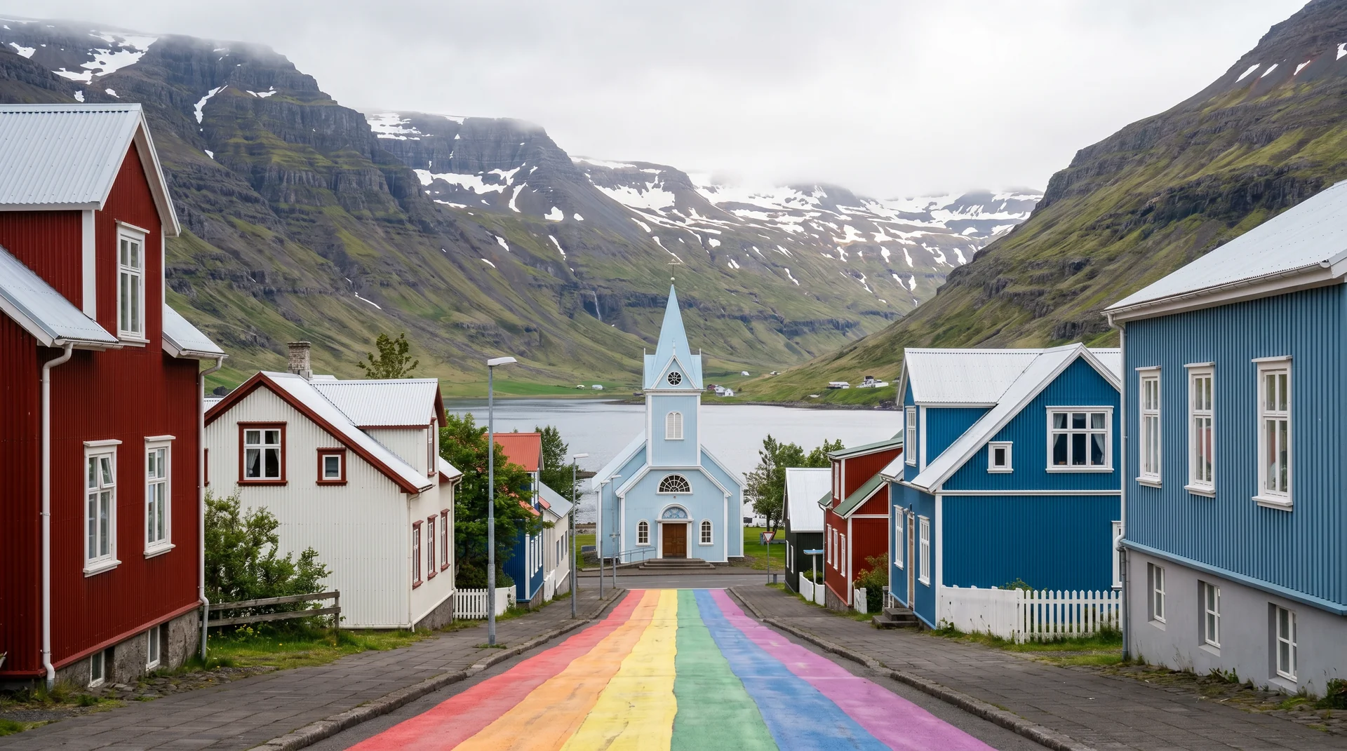
Seyðisfjörður
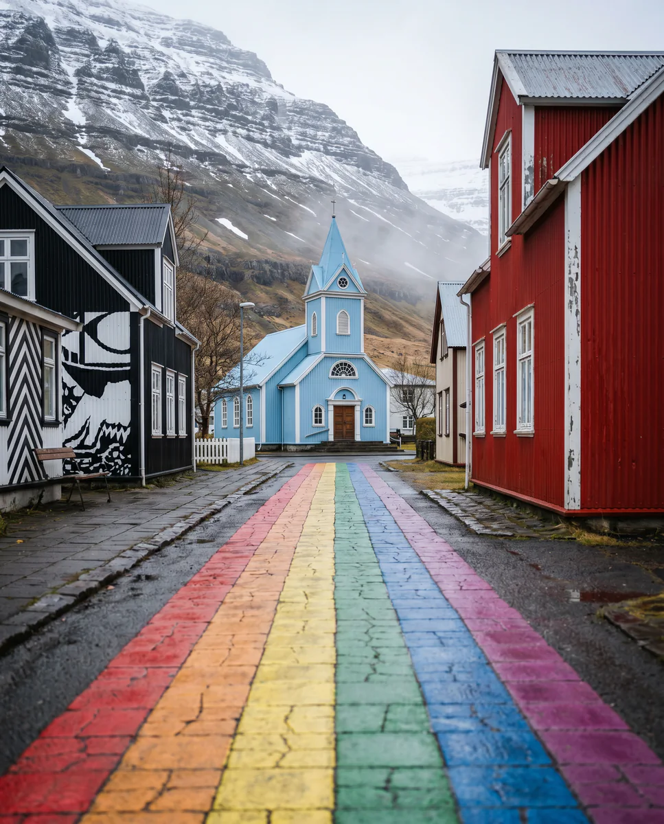
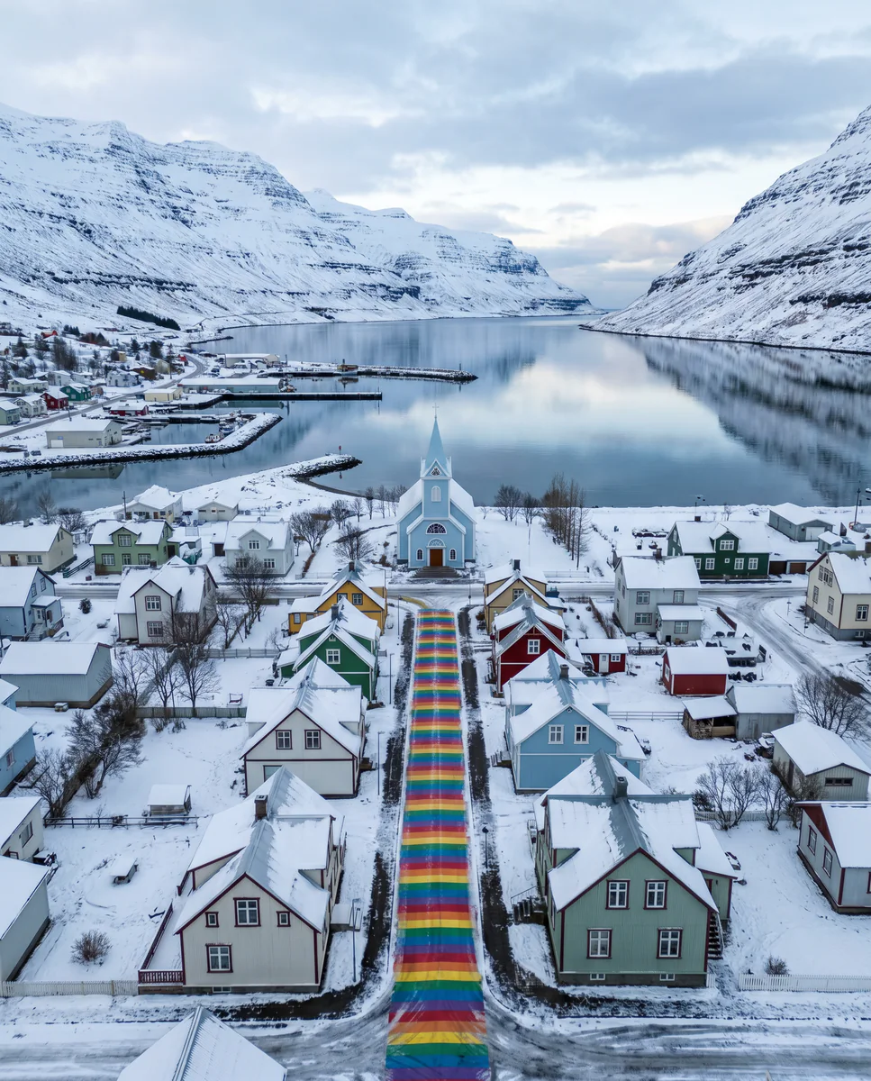
Coloured wooden houses, a rainbow-painted street to a blue church, a deep fjord with a ferry from Denmark — Iceland's east-coast jewel, and the only place you can drive off a ferry from mainland Europe.
Why this place matters.
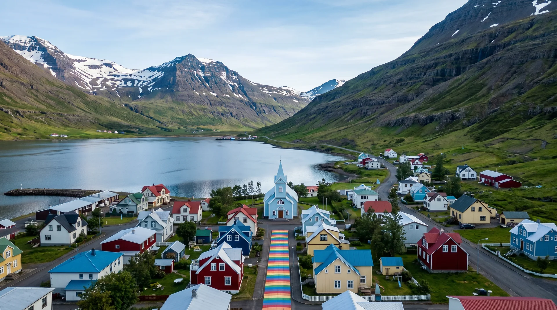
Seyðisfjörður sits at the head of one of Iceland's deepest fjords, walled by 1,000-m mountains on three sides. The town was built in the 19th century by Norwegian merchants — which is why the architecture is so different from the rest of Iceland.
The Smyril Line ferry from Hirtshals, Denmark, via Tórshavn arrives weekly — the only car ferry between Iceland and anywhere else. Most travelers arrive over the Fjarðarheiði mountain pass from Egilsstaðir (27 km west). The rainbow street to the blue Seyðisfjarðarkirkja church is the iconic photo; the LungA art festival in July is the cultural draw; the surrounding hikes are the secret.
East · the deepest east fjord.
Over Fjarðarheiði pass (620 m, 27 km) from Egilsstaðir on Route 93.
Worth visiting — read the fine print.
Honest, not cynical. These are the things returning visitors tell first-timers.
The only road in. 620 m elevation. Winter storms close it for hours-to-days. Check road.is the morning of any winter approach.
Painted rainbow path leads to the blue Seyðisfjarðarkirkja church. Stand at the bottom for the iconic shot. Free.
Smyril Line Norröna · 3-day crossing from Hirtshals. Summer only practically. Brings cars + RVs.
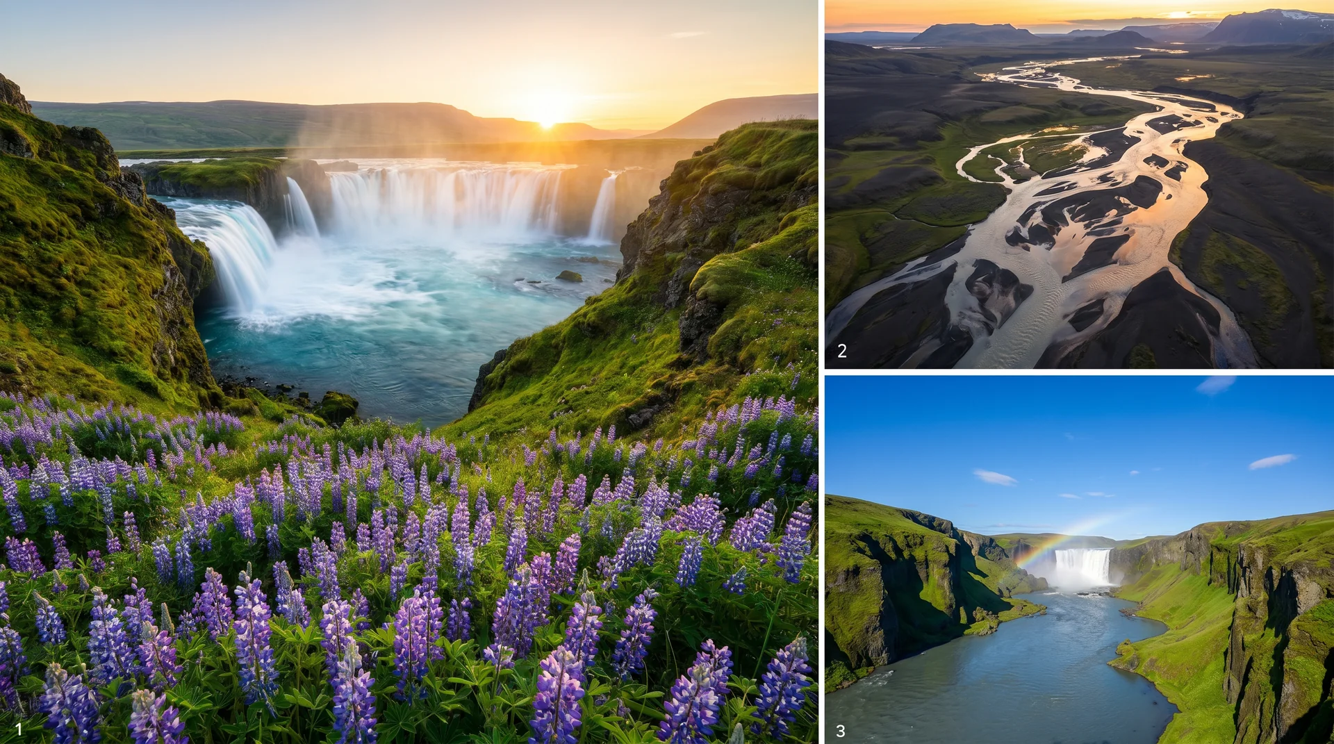
5 km RT from town to a hidden waterfall valley. Snow-fed cascades, wildflowers in summer. Almost no tourists.
One week of installations, performances, and workshops. The town doubles in population. Book accommodation ahead.
Unlikely but true — excellent sushi from local fish. Open evenings, small space, books out fast.
When the place is itself.
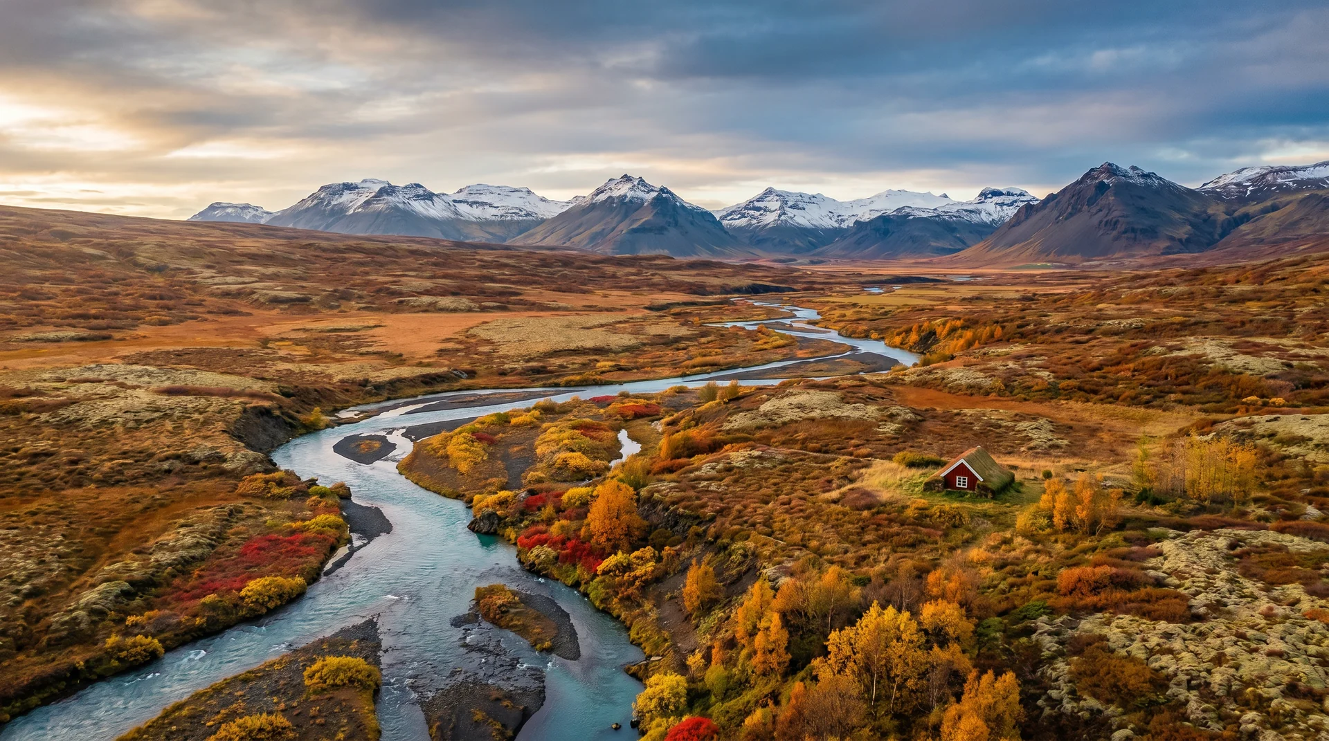
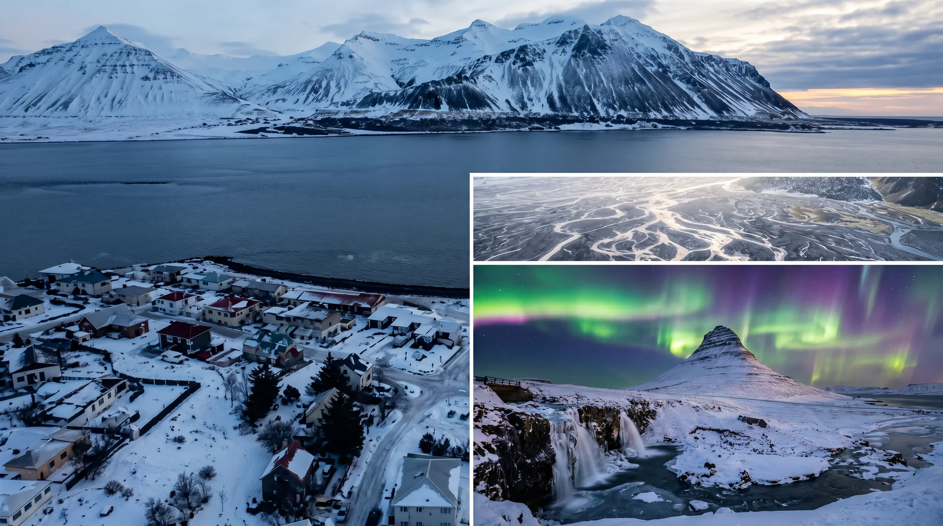
Year-round. Summer brings the ferry, festivals, and long evenings; winter the pass becomes the constraint. Aurora rich on clear nights — mountains shelter from city light.
Light, shaped by ice.
Stand at the bottom of the rainbow path. Church centred. Wide angle. Mid-morning side-light is best.
Pull-off on Fjarðarheiði pass for the panorama of the fjord and town. Best on the way in or out.
Walk the harbour streets. Reds, blues, yellows against grey water. Best in flat overcast — direct sun blows out the saturation.
Drive 10 min east along the fjord road for darker skies. Mountain ridges silhouette nicely.
Getting there, calmly.
The place, four ways.
Within an hour.
- EgilsstaðirEast-region hub town
- Vestdalur trailHidden waterfall valley
- Borgarfjörður EystriPuffin platform + elf trails
- Vök BathsFloating spa on a lake
- Stuðlagil canyonBasalt column river canyon
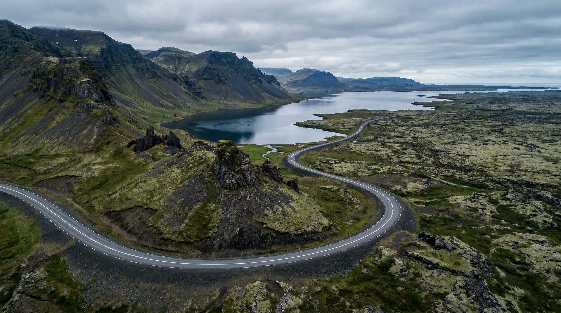
It lives on these routes.
Read this place differently.
What the place is doing right now.
Make Seyðisfjörður part of your expedition.
Open it inside the Explorer to see it in context with terrain, season, and conditions — or plan a route that passes through.