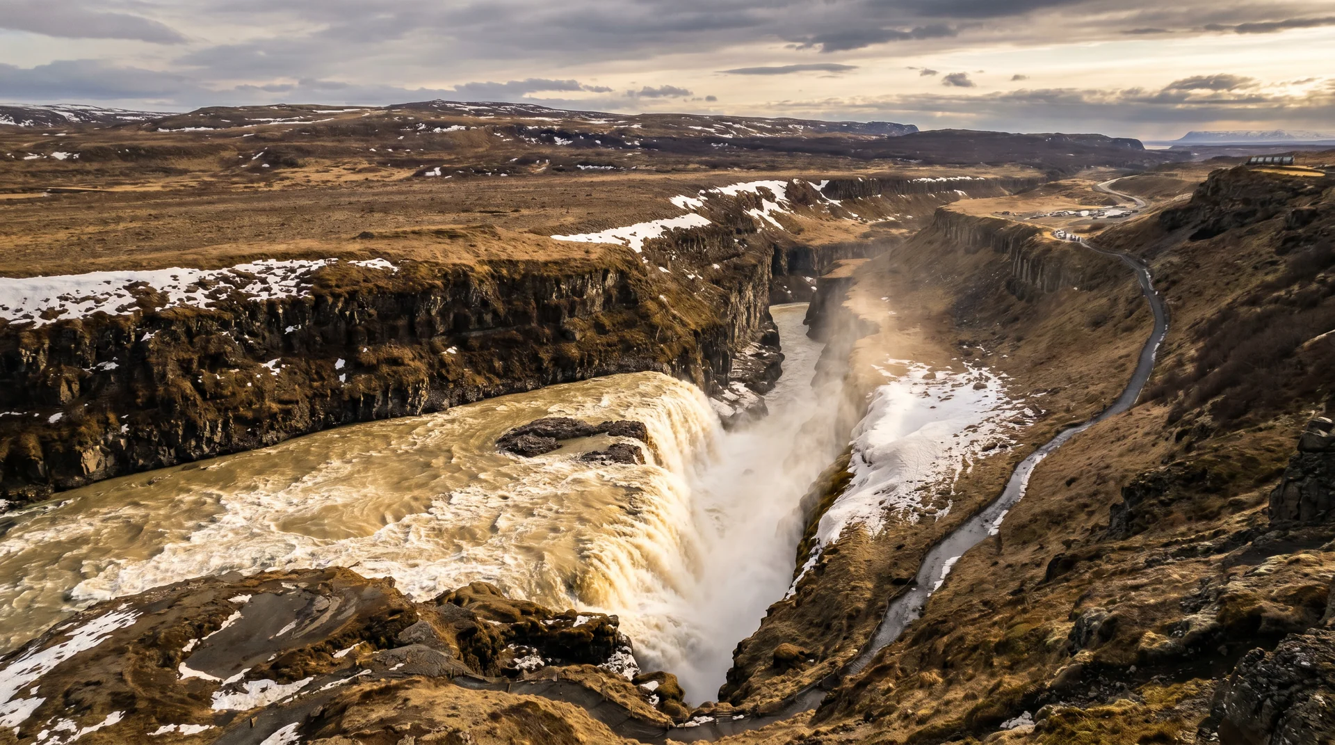
Gullfoss
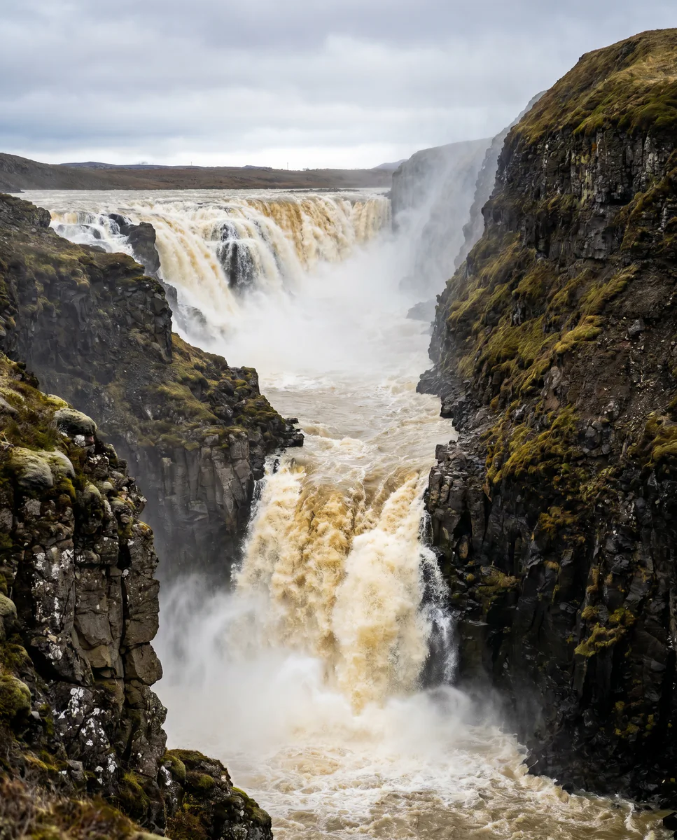
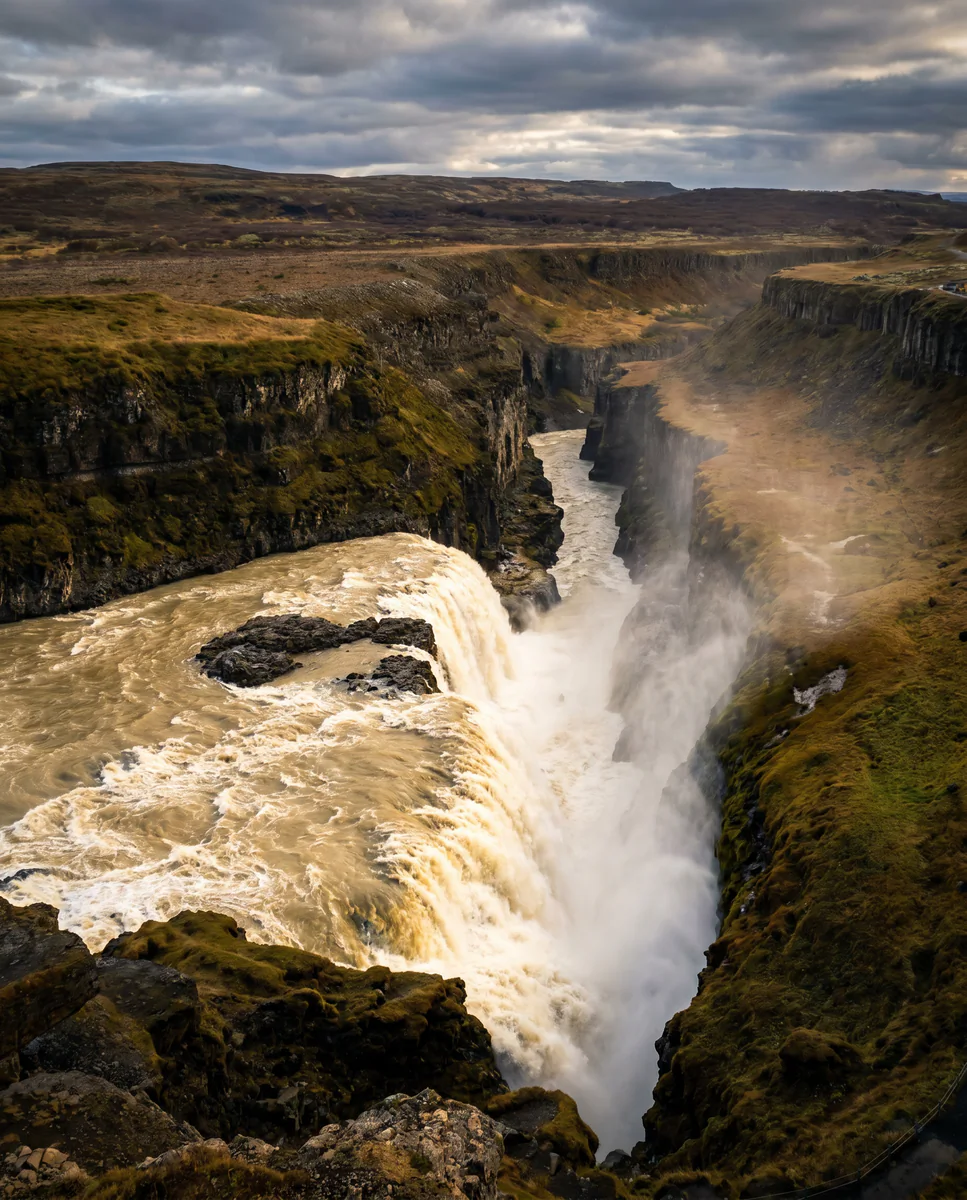
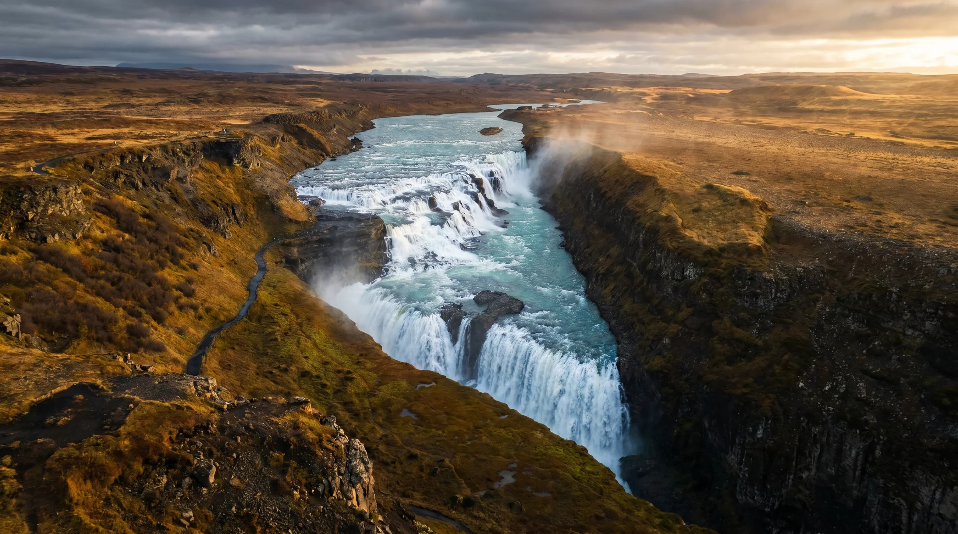
Two stacked drops — 11 m then 21 m — that plunge into a 32 m basalt canyon. On a sunny afternoon, a rainbow rides the spray. In winter, the edges freeze into a sculpture.
Why this place matters.
Gullfoss carries the meltwater of Langjökull glacier. The river drops 32 metres in two stages and bends 90° into the canyon — which is why the noise hits you before the view does.
Two viewpoints. The upper deck stays open all year and gives the postcard angle. The lower path drops to the canyon rim — closer, wetter, and the source of every dramatic photo. It closes Nov–Apr because of ice. In the 1920s a landowner tried to lease this to a foreign hydroelectric company; his daughter Sigríður walked to Reykjavík to fight it. The plaque on the upper path tells her story.
Southwest · the end of the Golden Circle.
Last stop after Þingvellir and Geysir. Closes the canonical first-day loop.
Worth visiting — read the fine print.
Honest, not cynical. These are the things returning visitors tell first-timers.
Even at the top viewpoint you'll get wet on south wind days. Windproof shell is mandatory; lens cloths essential for cameras.
Ice on the descent makes it unsafe. Microspikes don't change the closure decision — it's barricaded.
Sun behind you, spray in front. Best between 2pm and 5pm in summer. Position yourself on the upper deck west.
Arrive before 11 or after 4. Café-and-restrooms break for the buses gives you a 20-min window of relative quiet at 12:30.
Upper lot fills first. The lower lot is closer to the canyon path but adds 10 min walking. Free parking everywhere.
Icelandic lamb soup — the canonical mid-Golden-Circle lunch. Goes fast in summer; arrive before 1pm.
When the place is itself.
Year-round. Summer flow is highest; winter offers frozen edge sculpture; spring melt is at peak power in June.
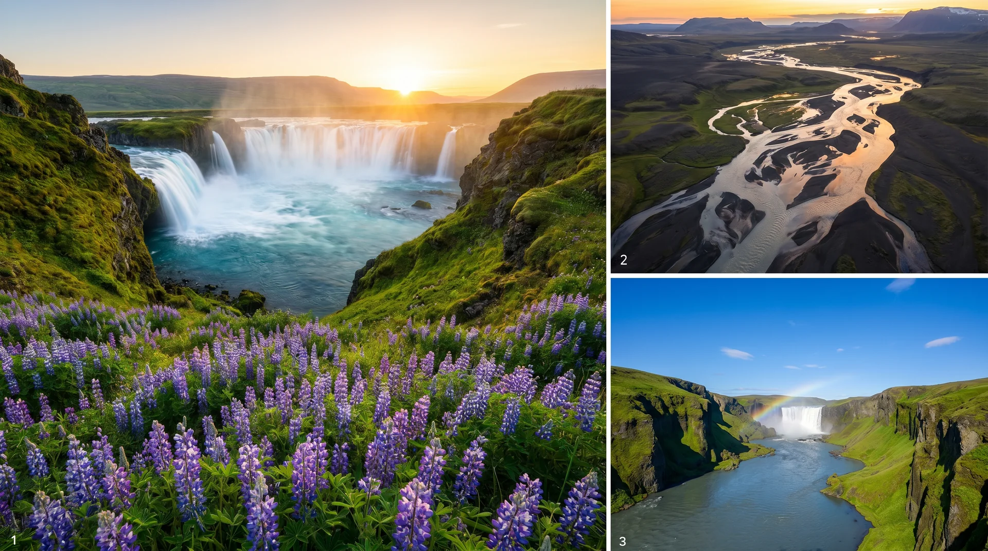
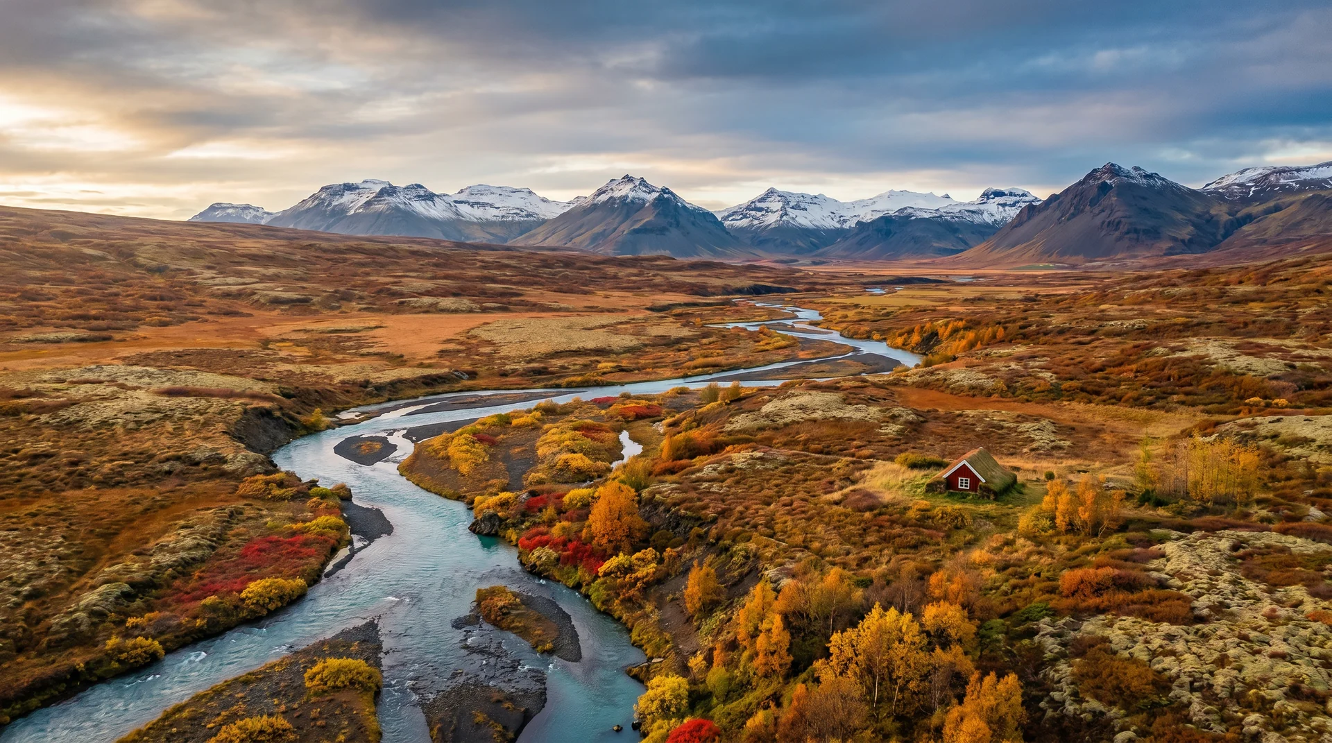
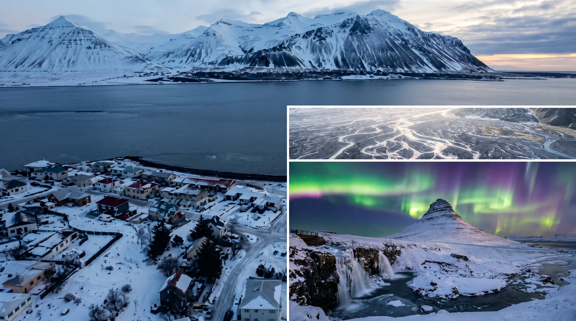
Light, shaped by ice.
Sun behind, spray in front. Polarizer optional — kills the rainbow if rotated wrong.
10-stop ND filter on tripod gives the silk look. The wind buffets the tripod — weight it.
Best Jan–Mar. The blue ice contrasts the brown basalt. Upper deck only.
Drones permitted but registration required (1 Jan 2026 rules). High-mist conditions degrade sensors quickly.
Getting there, calmly.
The place, four ways.
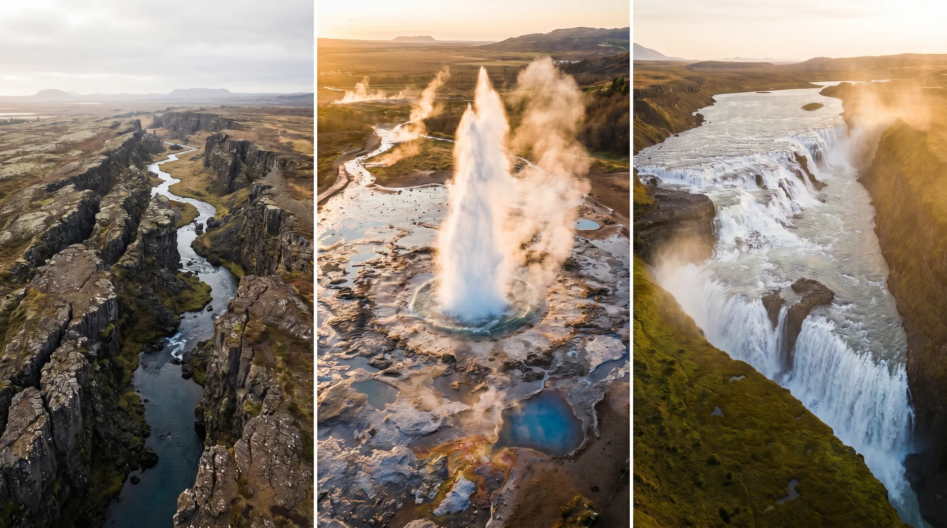
Within an hour.
- GeysirStrokkur eruption cycle
- BrúarfossFamous blue cascade
- ÞingvellirRift valley + parliament
- KerlingarfjöllHighland rhyolite valley
- Kerið craterRed volcanic crater + blue lake
It lives on these routes.
Read this place differently.
What the place is doing right now.
Make Gullfoss part of your expedition.
Open it inside the Explorer to see it in context with terrain, season, and conditions — or plan a route that passes through.