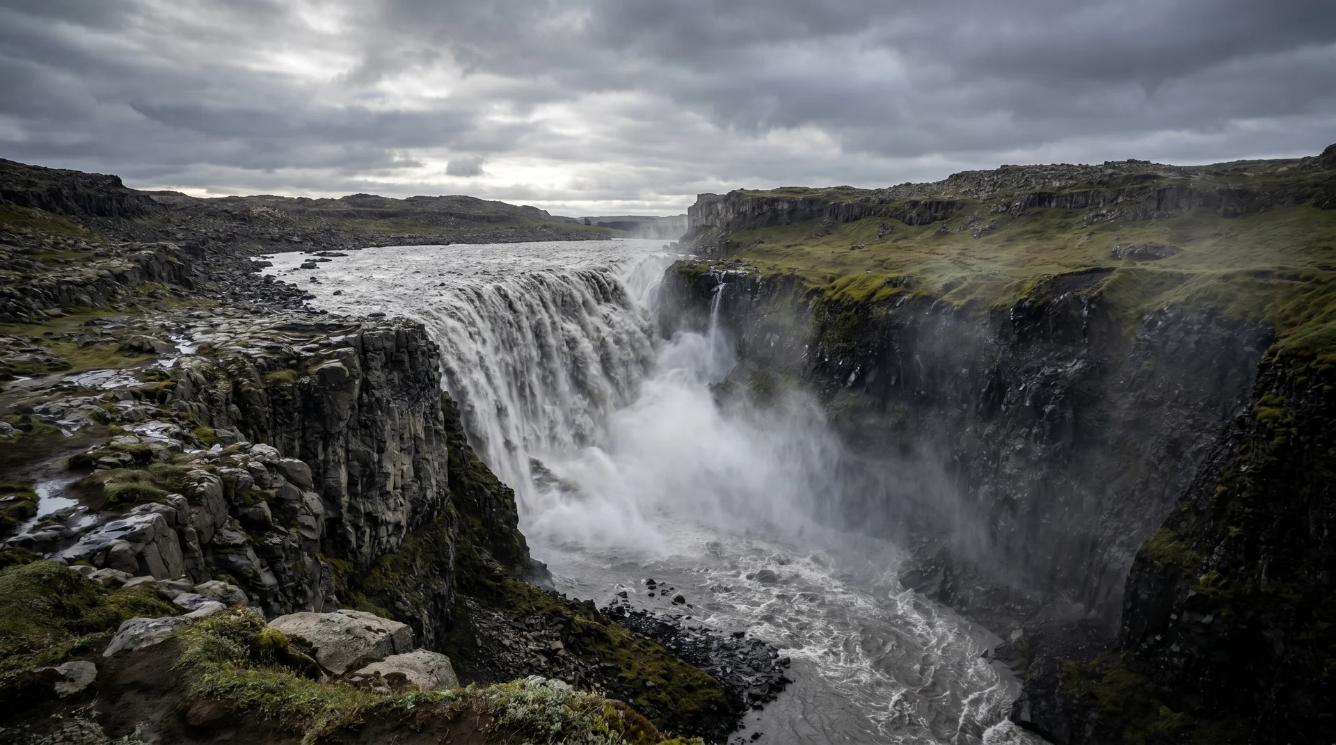
Dettifoss
Europe's second most powerful waterfall, behind the Rhine Falls — 100 metres wide, 44 metres tall, the silt-grey water of Jökulsá á Fjöllum roaring into the Jökulsárgljúfur canyon. You feel it in your chest before you see it.
Why this place matters.
Dettifoss is the south end of the Jökulsárgljúfur canyon. Above it, the silt-laden meltwater of Vatnajökull's northern outflow widens to 100 metres; below, it carves through 100 metres of cliff at 200 cubic metres per second.
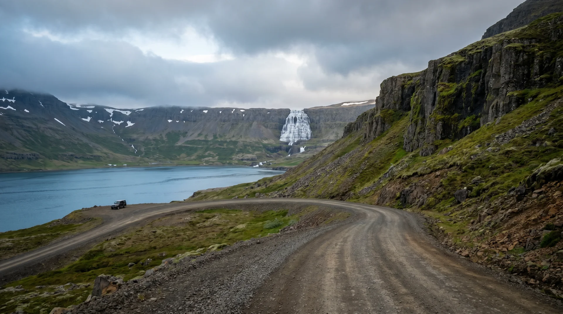
Two banks, two completely different experiences. The west bank (Route 862, paved) is the easier visit and the more photographed angle. The east bank (Route 864, gravel) is rougher, quieter, and the one Prometheus opens with — you stand directly above the lip. Most travelers do west only. The east is the better story.
North-East · in Vatnajökull NP.
Route 862 west (paved, year-round) or Route 864 east (gravel, summer).
Worth visiting — read the fine print.
Honest, not cynical. These are the things returning visitors tell first-timers.
West (862) is paved, easier, more popular — the iconic angle. East (864) is gravel, requires 1h detour, gives the lip-edge perspective.
May – July peaks. Mist clouds the whole canyon — you may not even see the falls. September is drier.
Slippery. Several deaths over the years. Stay 2 m back from the rim, especially on the east bank where railings end.
15-min walk from either bank. Wider and shorter than Dettifoss — different character. Most travelers skip it. Walk anyway.
1 hour each way from Route 1. 2WD survives but suffers. AWD recommended for the east approach.
Route 864 doesn't get cleared. West side (862) stays open winter — drive defensively, often empty.
When the place is itself.
West bank year-round. East bank Jun – Sep only. September is the photographic sweet spot — lower flow + clearer air = better visibility.
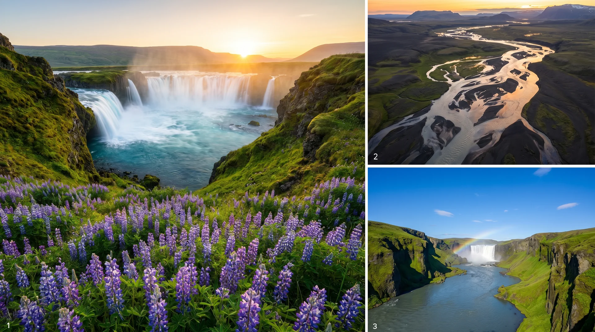
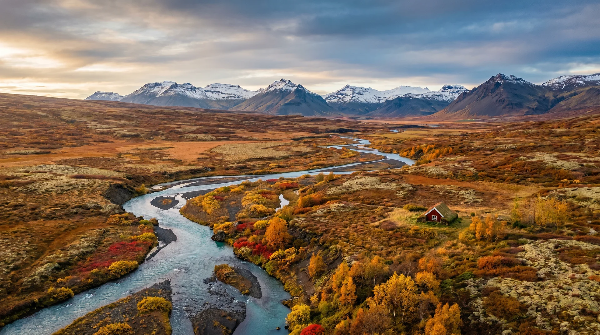
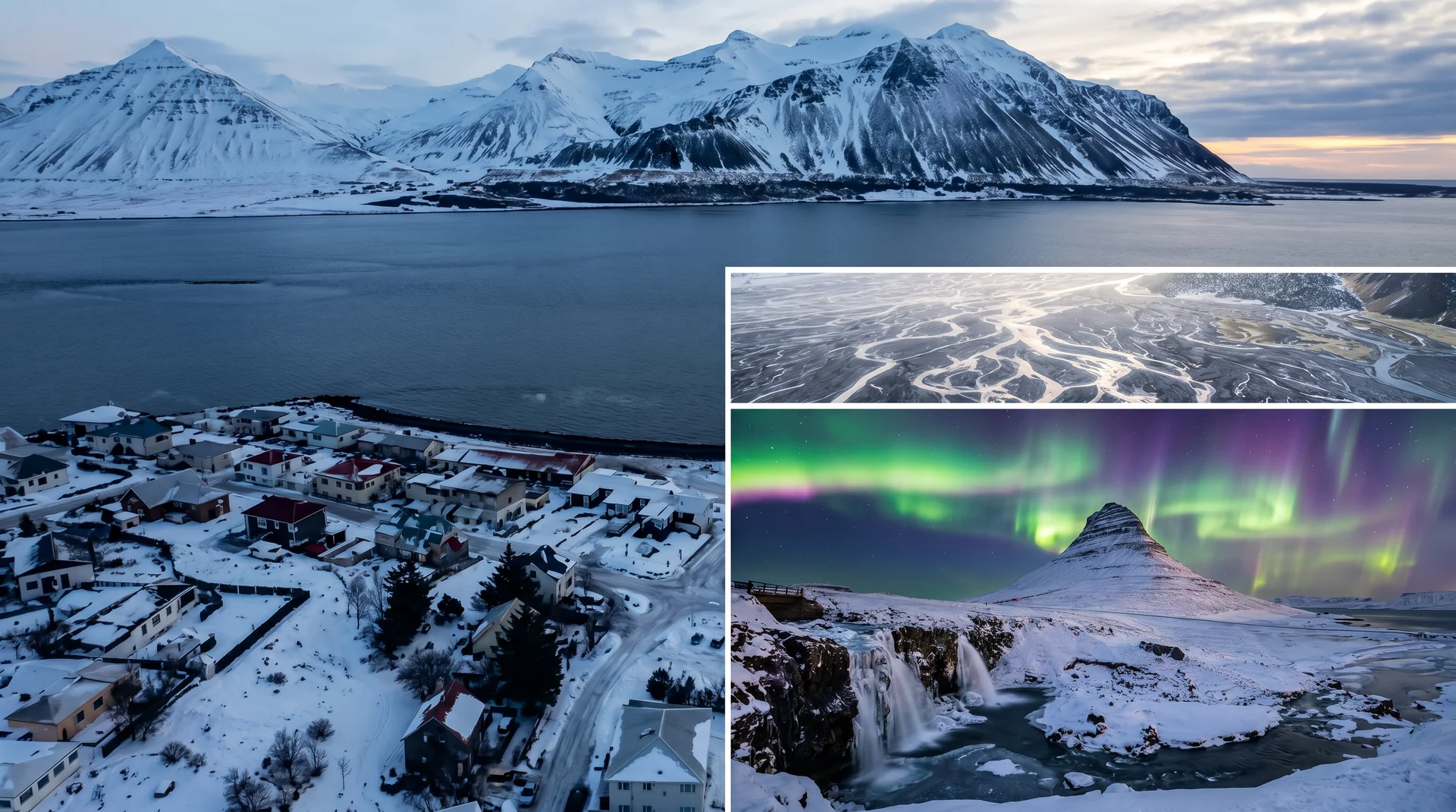
Light, shaped by ice.
The classic. Step back to fit the full canyon + horseshoe. Tripod helps; spray on lens constantly.
Stand directly above the drop. Prometheus opens here. Compose with the lip in the bottom third.
15 min walk from either bank. Wider, shorter, different character. Almost no one photographs it.
Sun side-lights the canyon walls 8 – 11am summer. Best contrast before midday flatness.
Getting there, calmly.
The place, four ways.
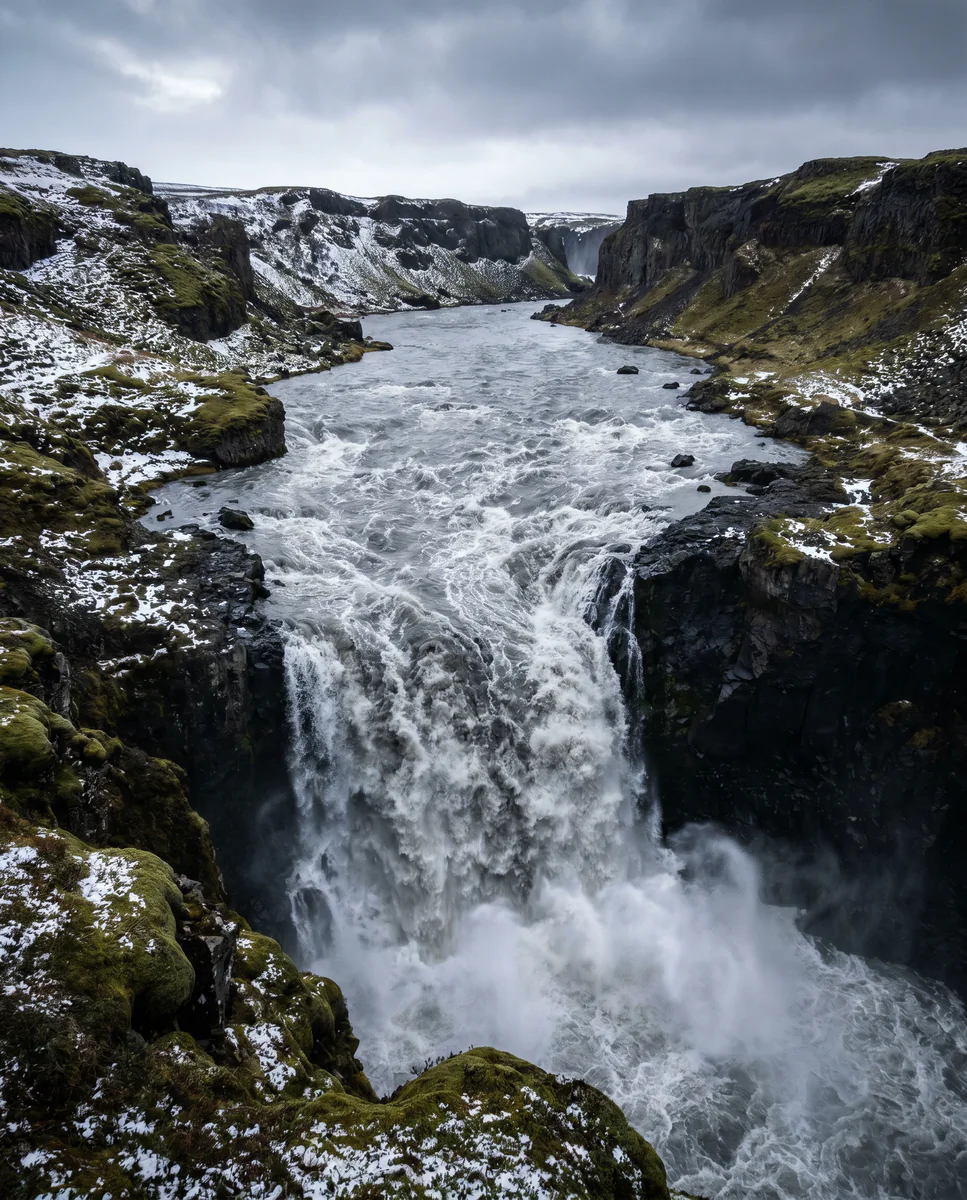
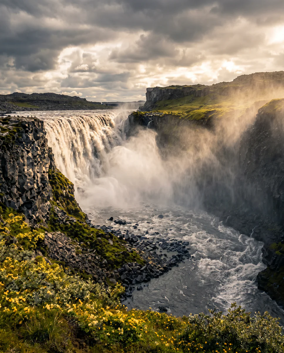
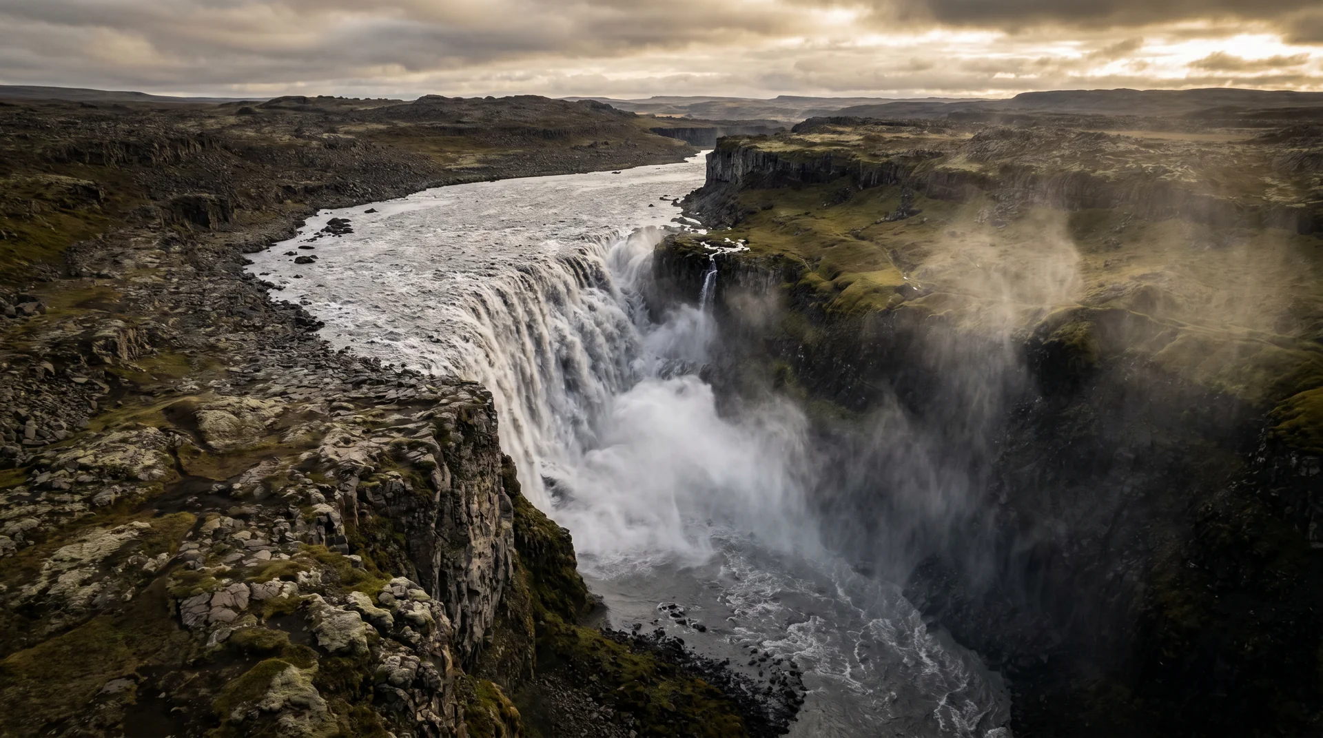
Within an hour.
- SelfossUpstream from Dettifoss
- MývatnGeothermal region
- HúsavíkWhale capital
- ÁsbyrgiHorseshoe-shaped canyon
- HverirSulfur mud-pot field
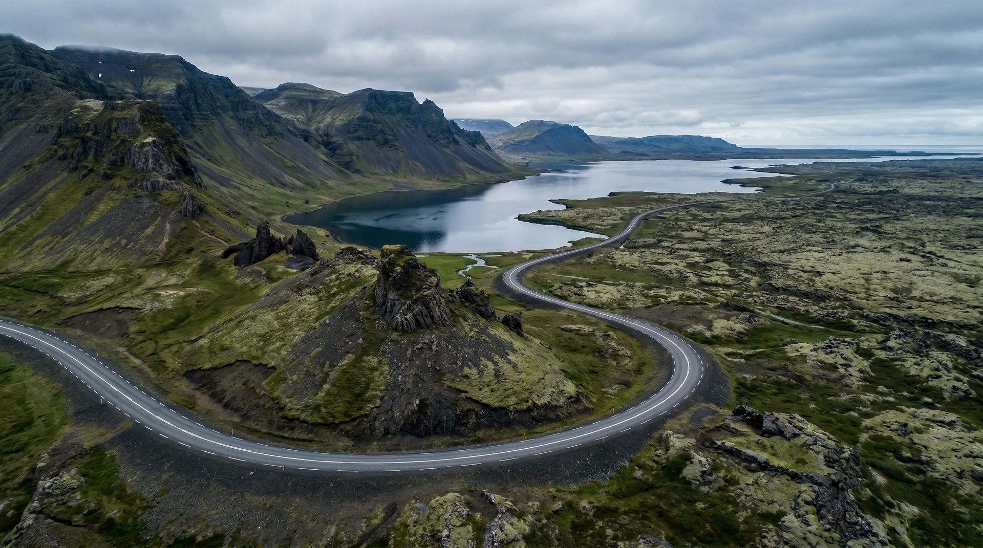
It lives on these routes.
Read this place differently.
What the place is doing right now.
Make Dettifoss part of your expedition.
Open it inside the Explorer to see it in context with terrain, season, and conditions — or plan a route that passes through.