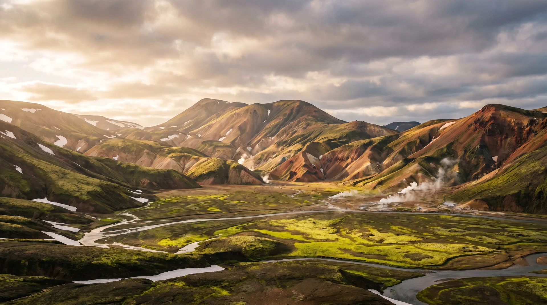
Landmannalaugar
Rhyolite mountains in pink, orange, green and grey — and a hot river you can soak in at the end of every hike. The most singular landscape in Iceland's interior, accessible only July through mid-September.
Why this place matters.
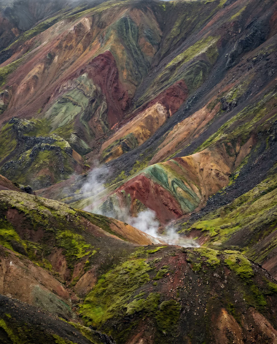
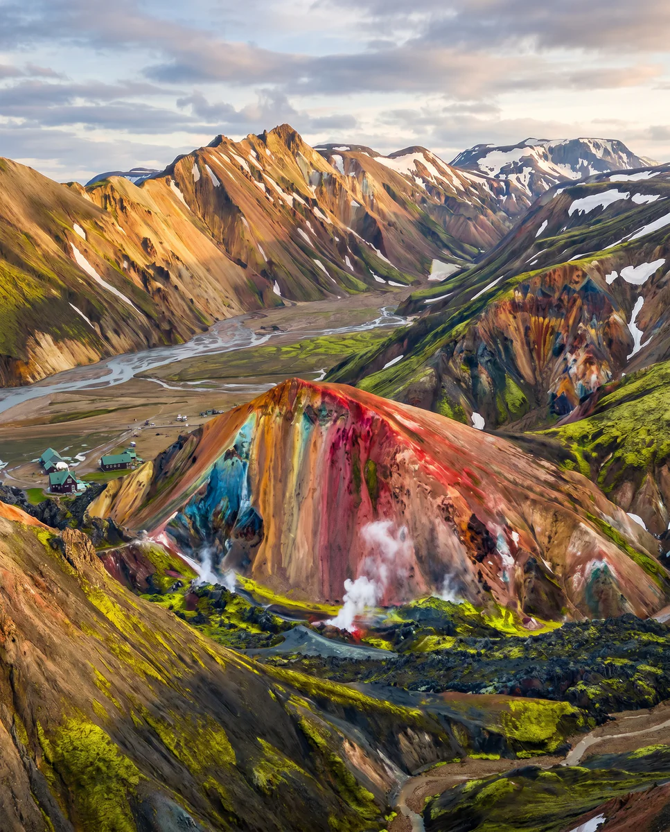
Landmannalaugar sits in the Fjallabak Nature Reserve — a basin surrounded by rhyolite mountains whose mineral content paints them in colours no other rock can produce. A hot river flows through it. Most hikes loop back to it.
The canonical day-visit: park at the hut, hike the 4-hour rhyolite circuit (Brennisteinsalda + Bláhnúkur), soak in the hot river, drive out. The richer experience is the four-day Laugavegur Trail to Þórsmörk — Iceland's most famous trek. Access requires a 4WD with high clearance and judgement at river crossings. Mountain huts book months ahead.
South Highlands · Fjallabak Reserve.
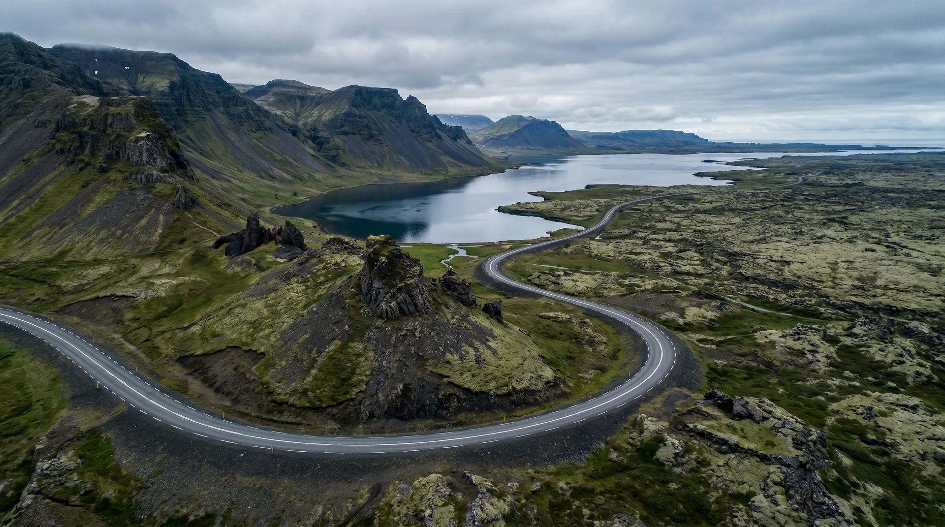
Access via F208 north (typical first opening) or south (harder · river crossings).
Worth visiting — read the fine print.
Honest, not cynical. These are the things returning visitors tell first-timers.
Most rentals exclude F-road damage entirely; water damage excluded separately. Read your contract. Bring a card with limit headroom.
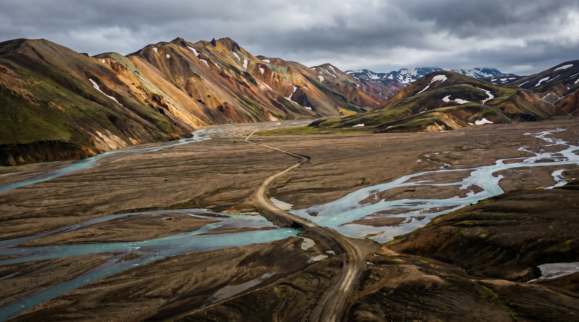
F208 north, in from Sigalda on Route 26, is the safer way: fewer crossings, and the worst of them bridged. The southern routes are not. F210 (Fjallabaksleið syðri, in from Keldur near Hella) fords Kaldaklofskvísl, Bratthálskvísl and Hólmsá; F208 south, up from Route 208 past Eldgjá, fords Syðri-Ófæra and Norðari-Ófæra; F225 (Landmannaleið) fords Rauðfossakvísl. Whichever way you come in, the last ford is Námskvísl on the F224 spur, and there is a car park on the near side for anyone who should not attempt it. Krossá, the crossing most often quoted as the benchmark, is on none of these: it is on F249 into Þórsmörk, a different valley.
Top off completely. There's no fuel in the interior. Camping fee + showers + hut sign-up at Hrauneyjar visitor centre.
4-hour loop · Brennisteinsalda + Bláhnúkur. The canonical day-hike. Trail markers exist but weather can erase visibility — bring map + compass.
Nights drop to 0–5°C even in peak summer. Sleeping bag rated to -5°C. Wool, not cotton, base layers.
Move upstream to find your temperature. Closer to source = hotter. Don't enter where it's too hot to touch comfortably.
When the place is itself.
Mid-July to early September only. F208 opens ~Jul 1 (north) and ~Jul 5 (south). Closes early September. Even then, weather can shut access overnight.
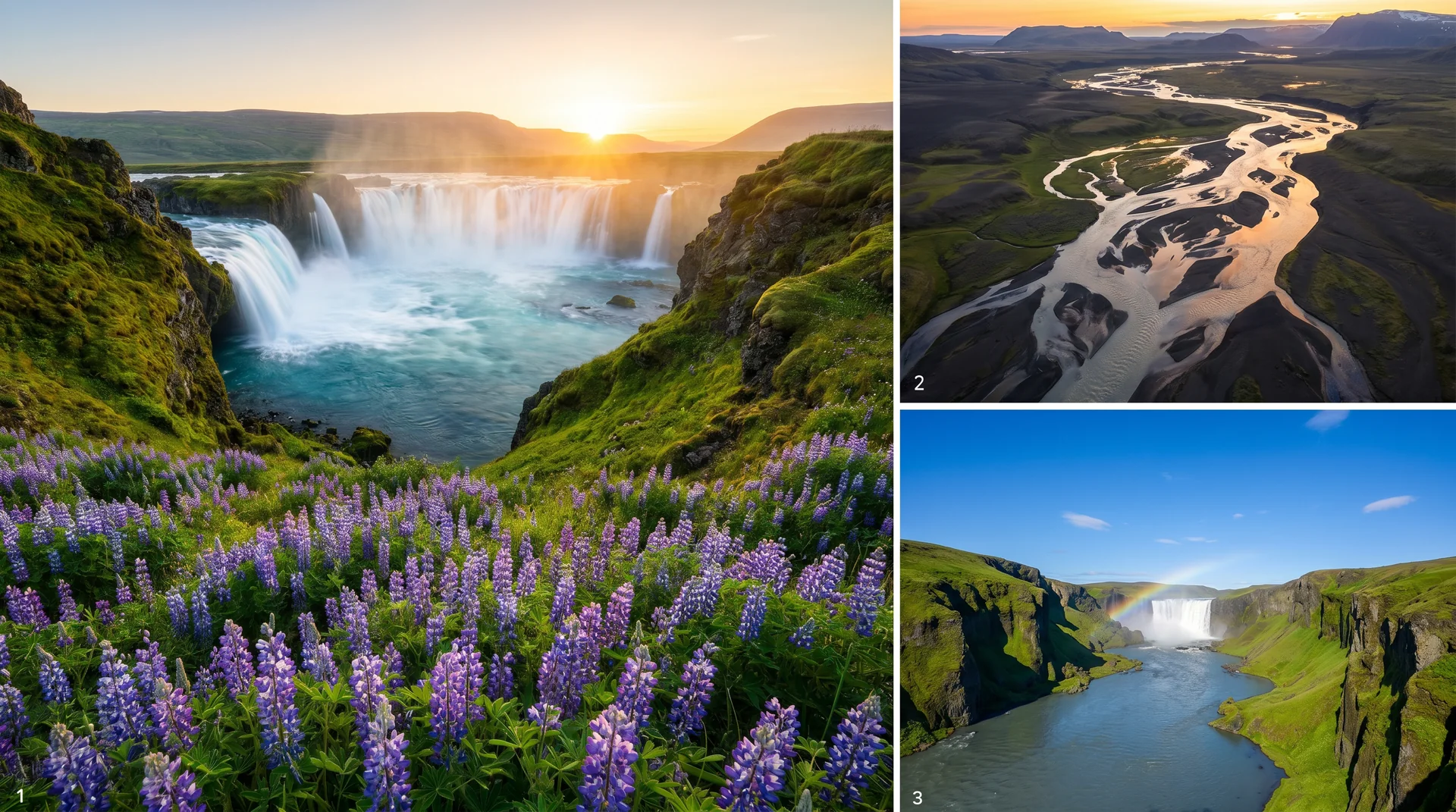
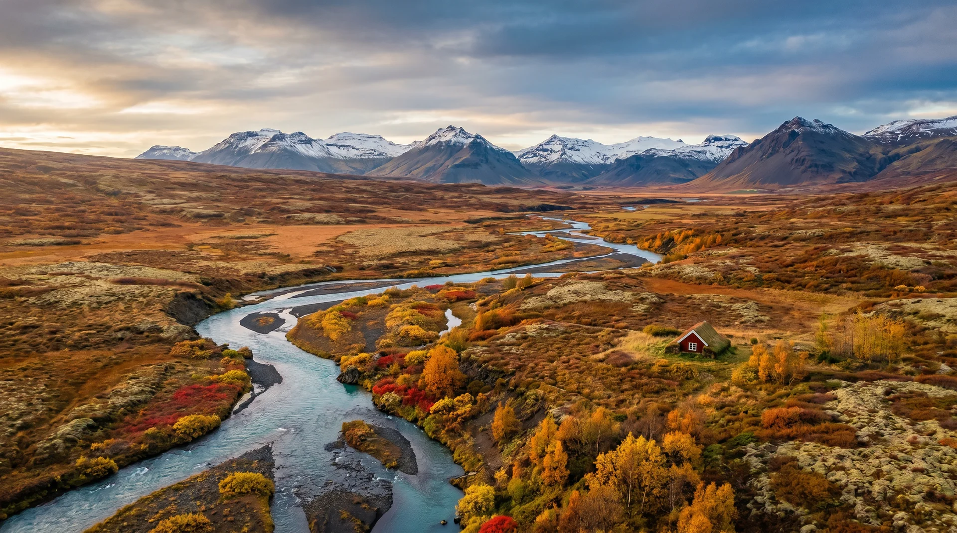
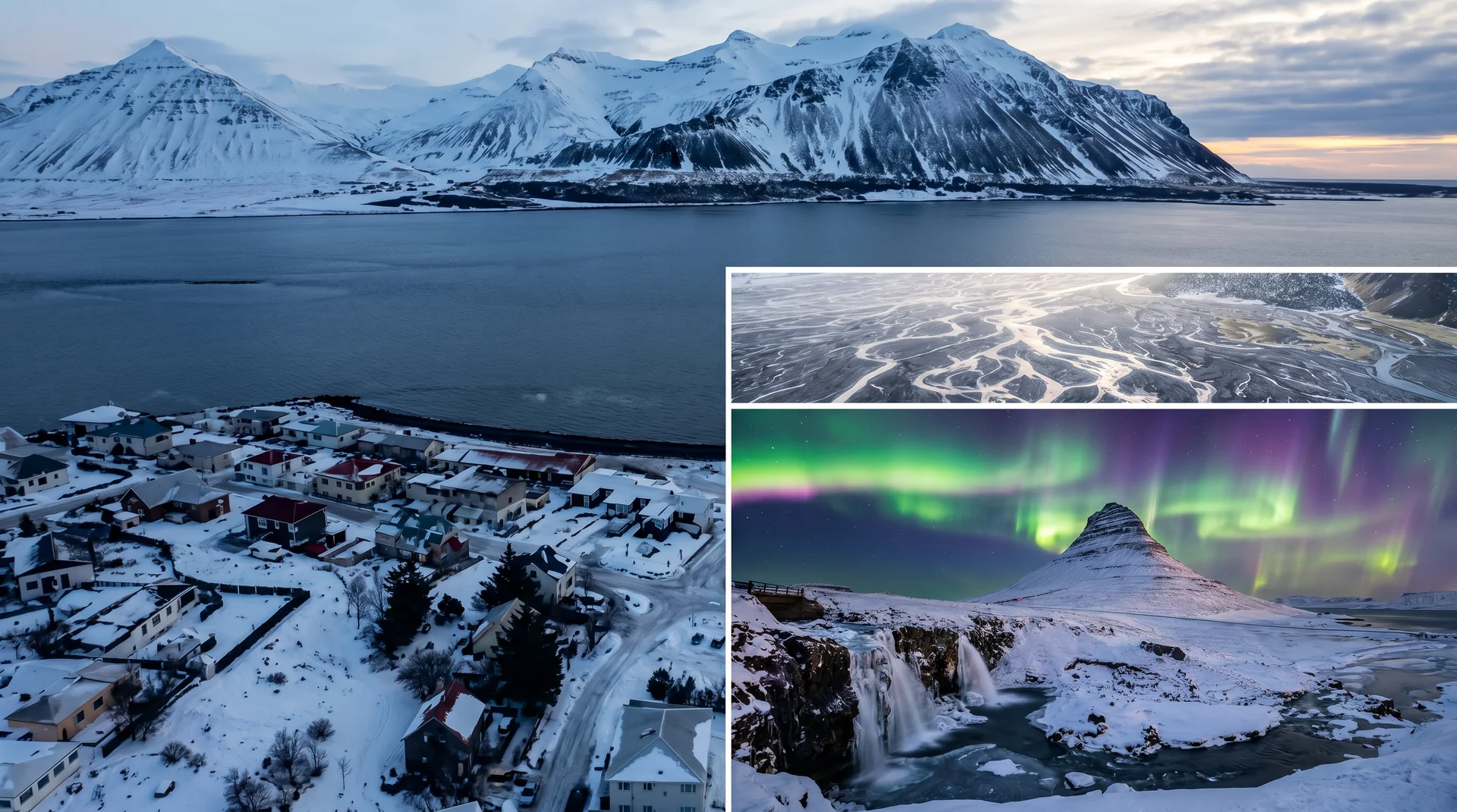
Light, shaped by ice.
The most photographed peak. Climb the lower flanks for the textbook view. Morning light brings out the green-orange contrast.
2h up. 360° view of the rhyolite basin. Patience for cloud to lift.
Bathers + steam + low evening light = strong human-scale composition.
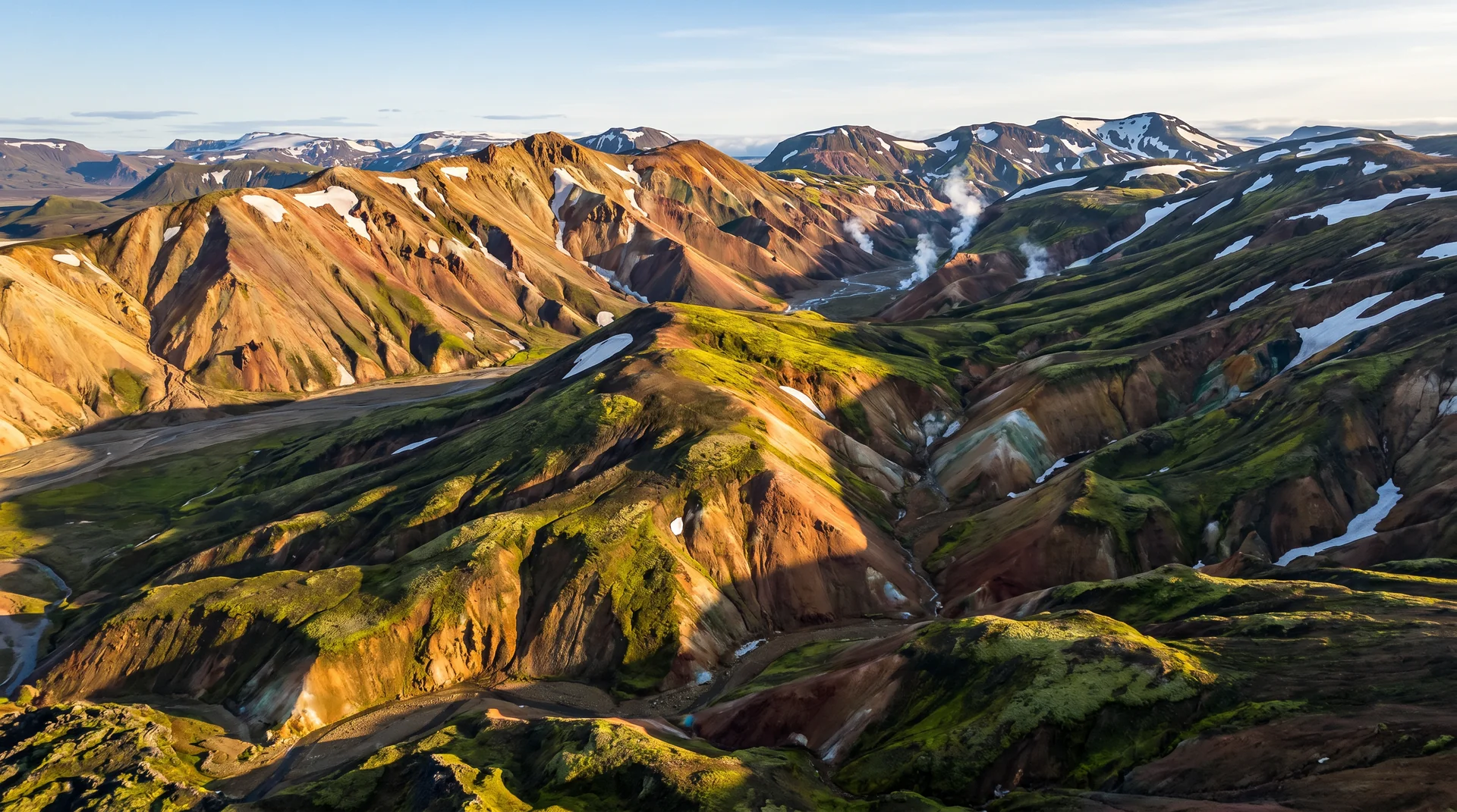
June still snow-patched; July gives the cleanest mineral colours under midnight-sun light.
Getting there, calmly.
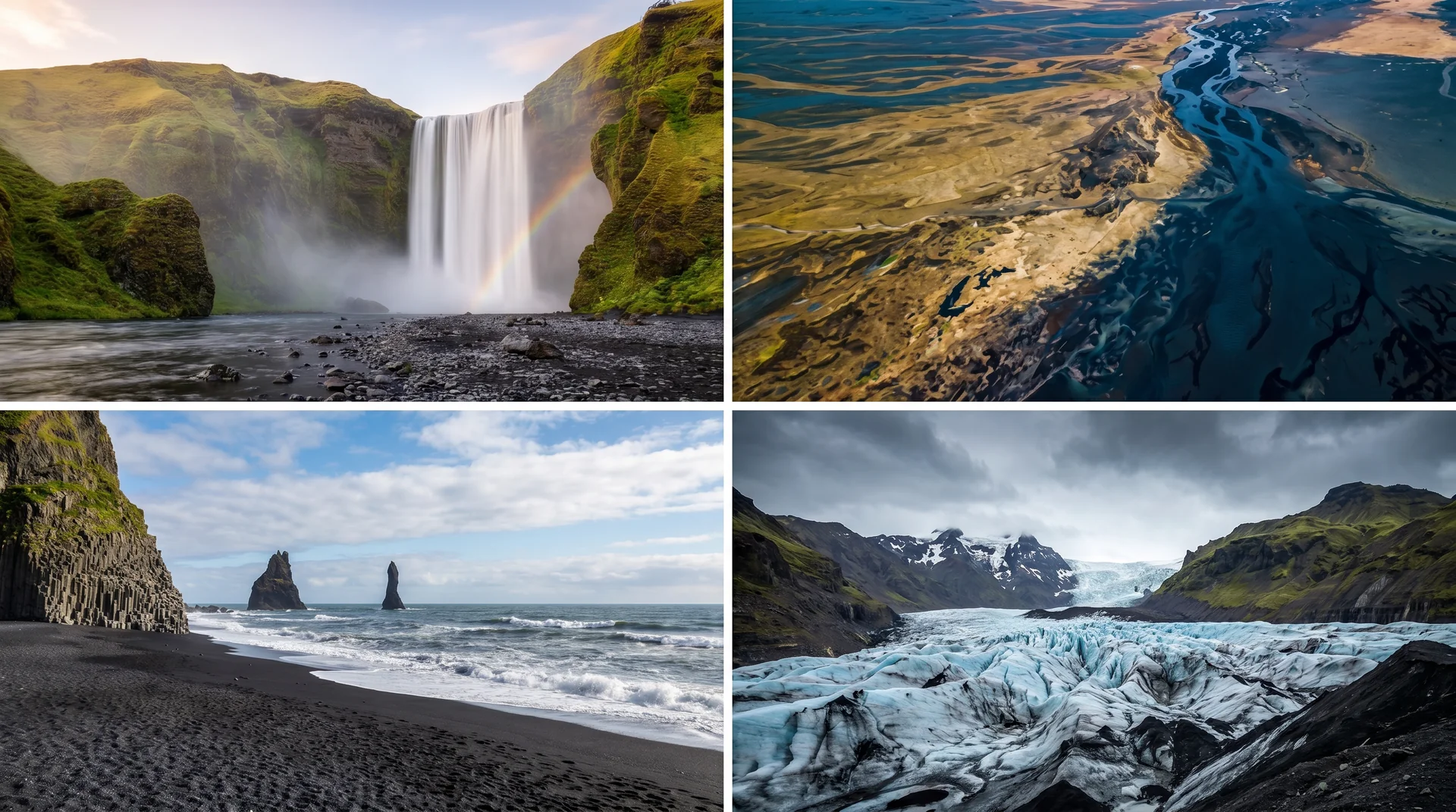
The place, four ways.
Within an hour.
- HrauneyjarLast fuel + check road conditions
- ÞórsmörkBirch valley + glaciers
- Háifoss120-m highland waterfall
- HjálparfossTwin basalt waterfall
- SigaldaHighland reservoir + hot pool
It lives on these routes.
Read this place differently.
What the place is doing right now.
Make Landmannalaugar part of your expedition.
Open it inside the Explorer to see it in context with terrain, season, and conditions — or plan a route that passes through.