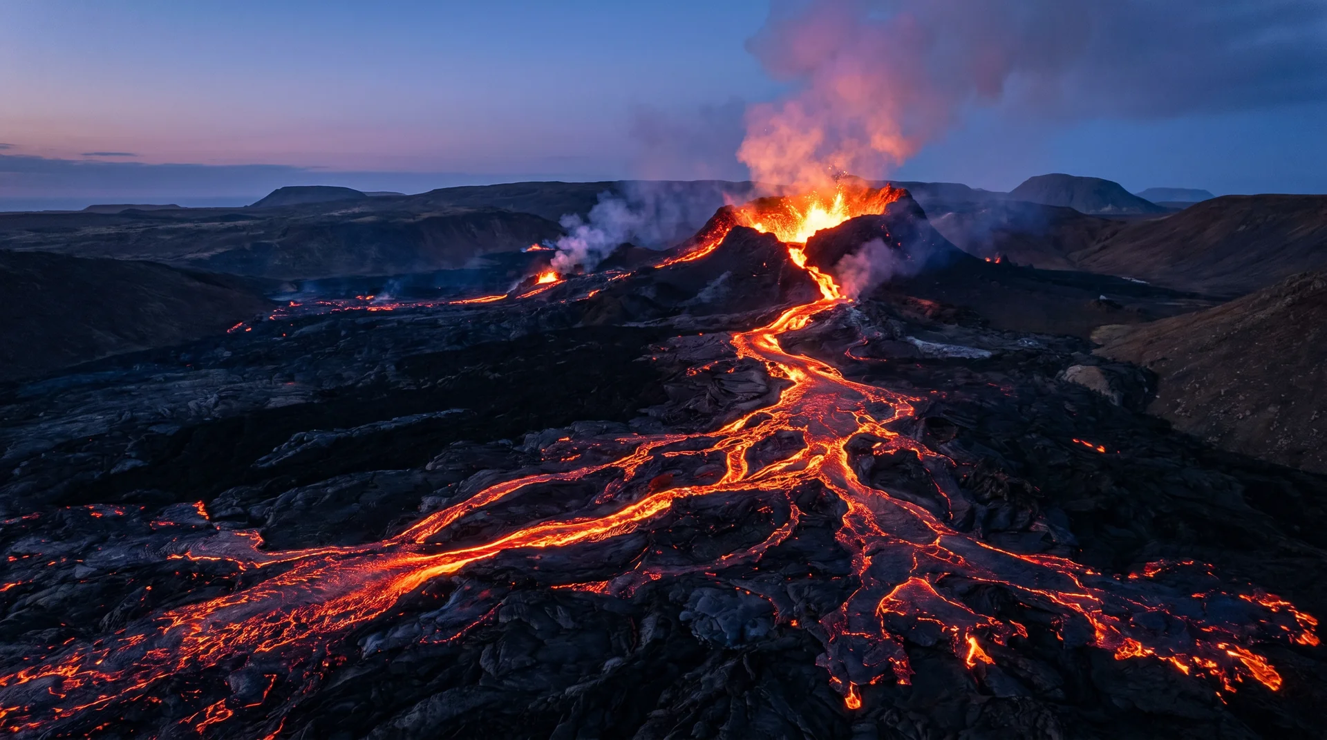
Fagradalsfjall
The volcano that woke up in March 2021 after 6,000 years of dormancy, on a peninsula quiet for nearly 800 years — and has erupted repeatedly since. Iceland's youngest land.
Why this place matters.
Fagradalsfjall is the youngest land in Iceland. The mountain itself had been dormant for 6,000 years, and the wider Reykjanes peninsula for nearly 800, when it erupted in March 2021. Subsequent eruptions have occurred in 2022, 2023, and 2024 — each in slightly different locations along the same fissure system.
Access depends entirely on current activity. When erupting, the area is managed by civil protection: marked trails, gas-monitoring stations, real-time risk grading. When dormant, you can hike the older lava fields freely. The Coast Guard publishes daily status at almannavarnir.is — always check before visiting.
Reykjanes · the volcanic frontier.
Trailhead on Suðurstrandarvegur. 1.5 h hike to viewpoint when active.
Worth visiting — read the fine print.
Honest, not cynical. These are the things returning visitors tell first-timers.
Always check almannavarnir.is and vedur.is before driving out. Gas closures can happen within hours of a wind shift.
Sulfur dioxide is heavier than air. Downwind hike approaches are closed even when the area is otherwise open. Read the wind map.
Trailhead at Suðurstrandarvegur. Depending on which crater is active, 2–5 hours total. Bring water + windproof shell.
Lava glow shows strongest in twilight. The peak experience is the 30-min window after sunset — but plan the return in daylight if you can.
Burning eyes, sore throat. If you feel either, descend immediately. Sensitive groups (asthma, heart) should skip on amber/red days entirely.
Don't approach the actual lava front. The dramatic shots come from 200–400 mm at the official viewpoint.
When the place is itself.
Year-round when active. The 'eruption window' itself is unpredictable — Iceland's volcanic forecasting publishes magma-chamber pressure as a leading indicator at en.vedur.is/volcanoes.
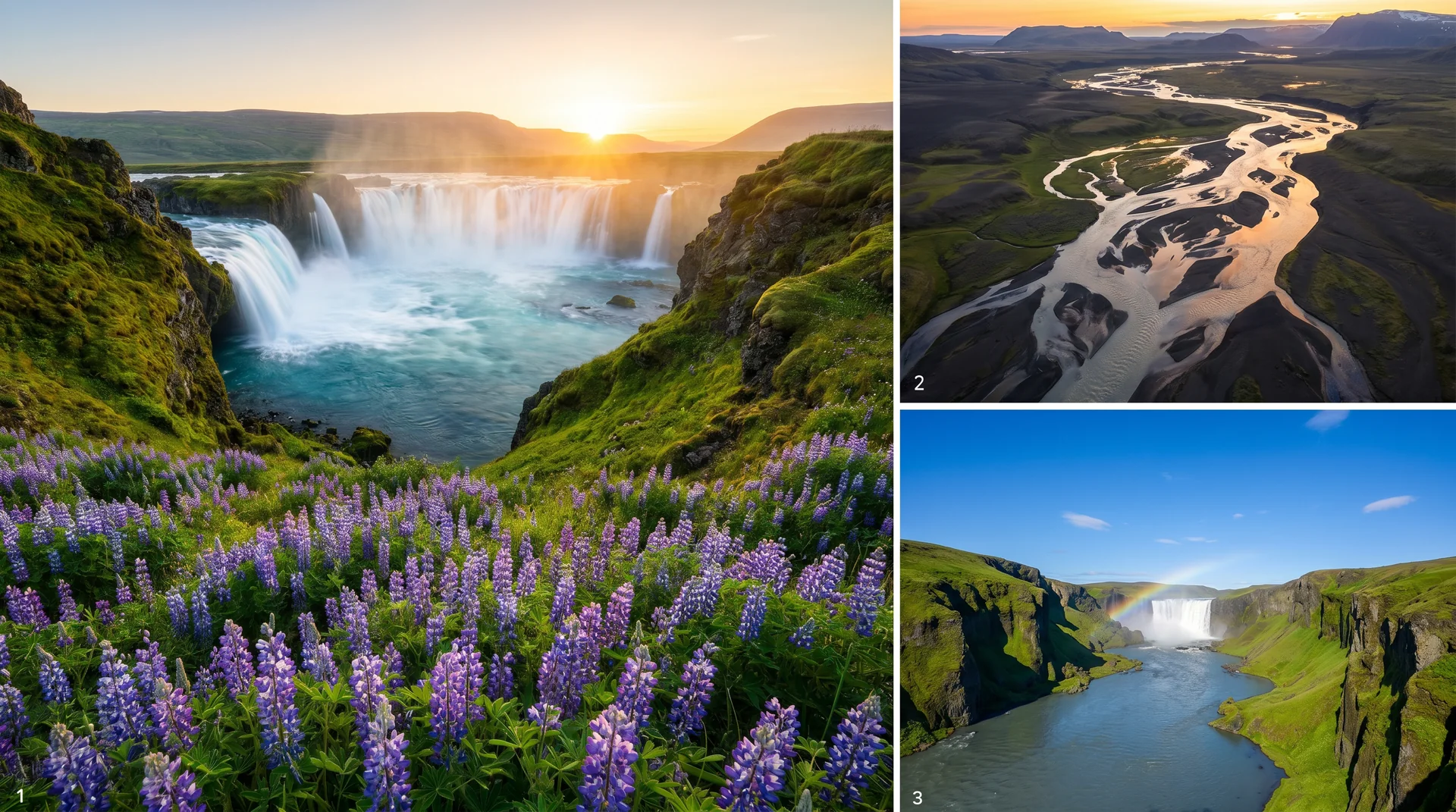
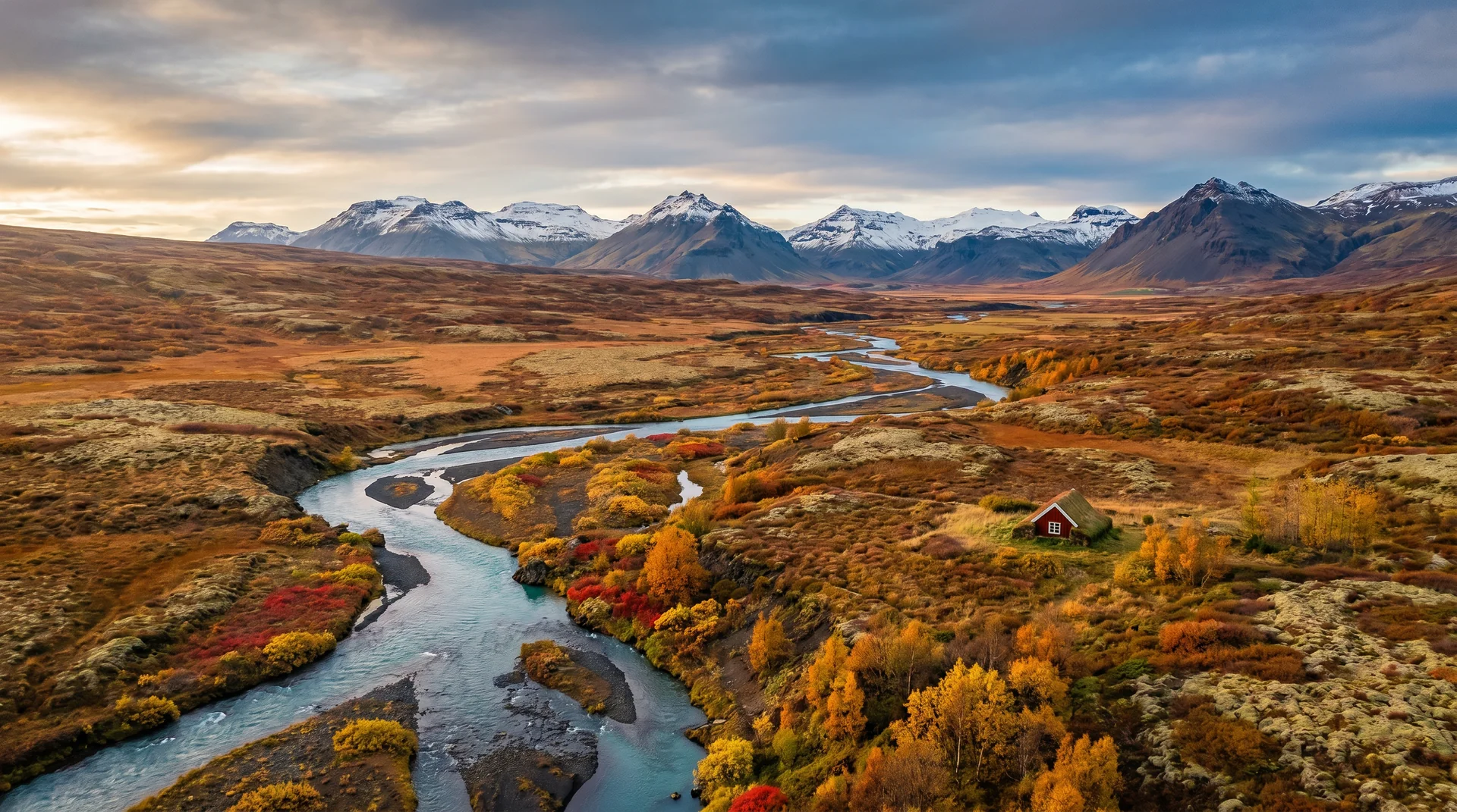
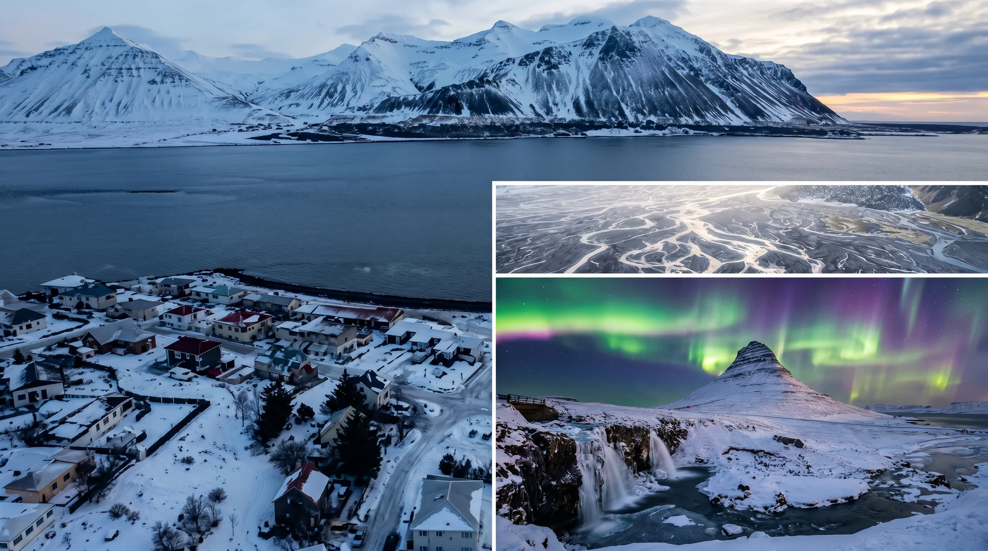
Light, shaped by ice.
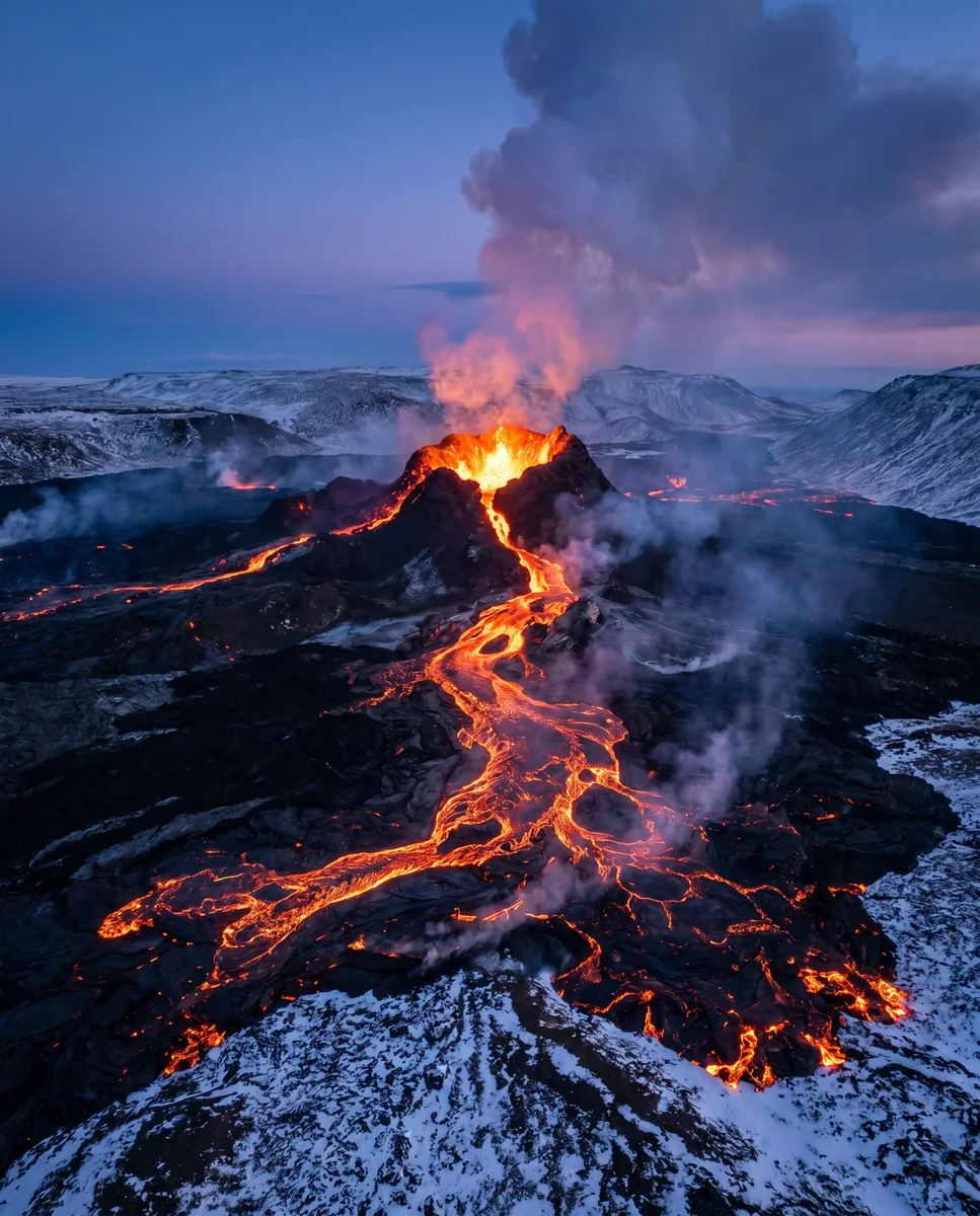
30-min twilight window. Telephoto compression from the ridge. Tripod essential — exposures 1–8 seconds.
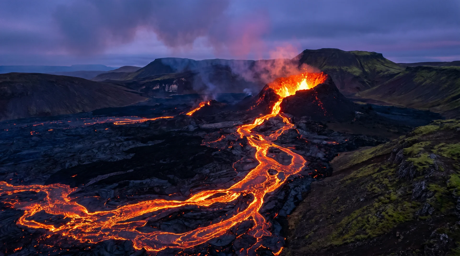
Wide angle from the official viewpoint. Steam plume + dark crater + landscape context.
Drones permitted in some zones, prohibited in others. Check daily. Hand-held aerial impression from the ridge works without drone.
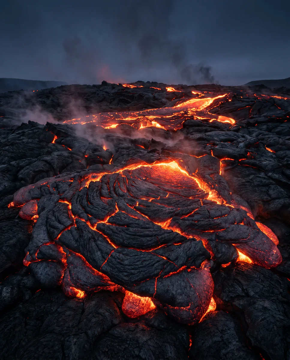
Even between eruptions, the 2021–24 deposits are striking. Walk the official trails to see fresh basalt up close.
Getting there, calmly.
The place, four ways.
Within an hour.
- GrindavíkTown · evacuated since Nov 2023 · still largely off-limits
- Blue LagoonGeothermal spa
- Keflavík airportLayover combo
- ReykjavíkReturn to base
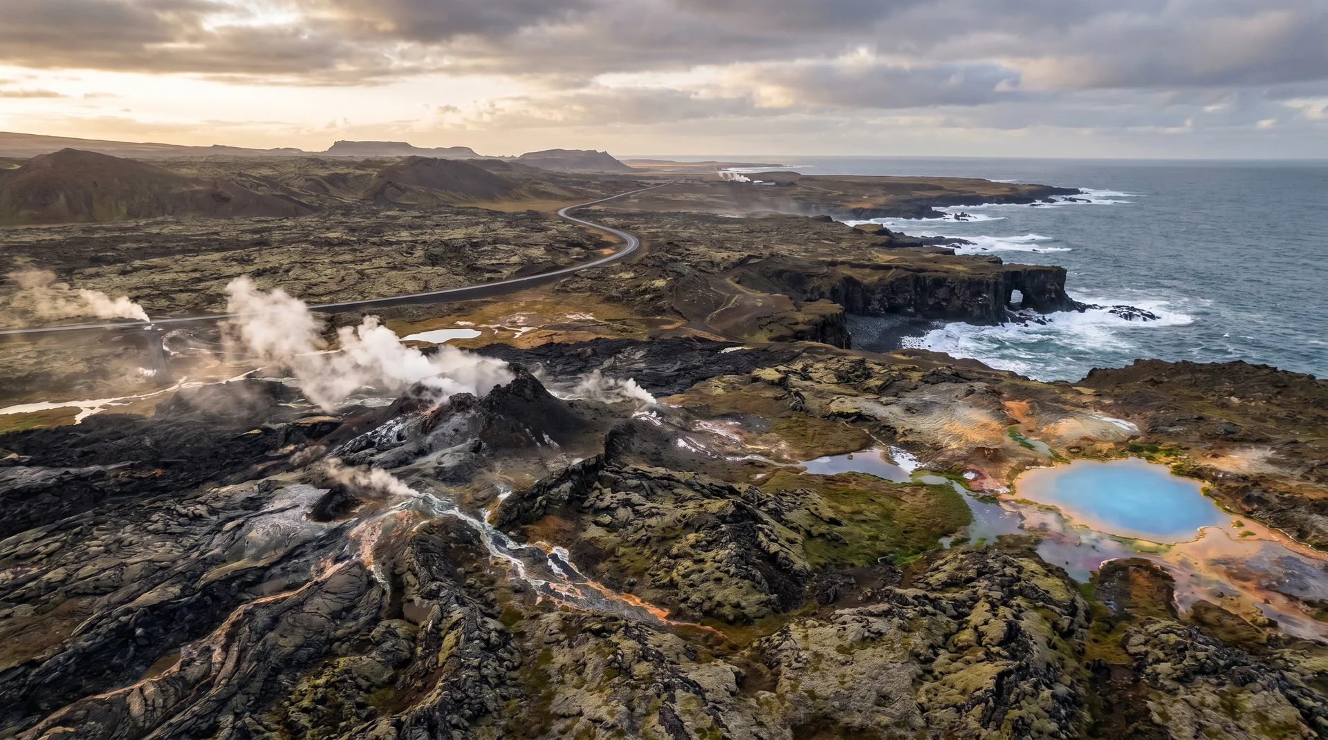
- ReykjanesvitiLighthouse + cliffs
It lives on these routes.
Read this place differently.
What the place is doing right now.
Make Fagradalsfjall part of your expedition.
Open it inside the Explorer to see it in context with terrain, season, and conditions — or plan a route that passes through.